"Water is life's matter and matrix, mother and medium. There is no life without water."
Water Management
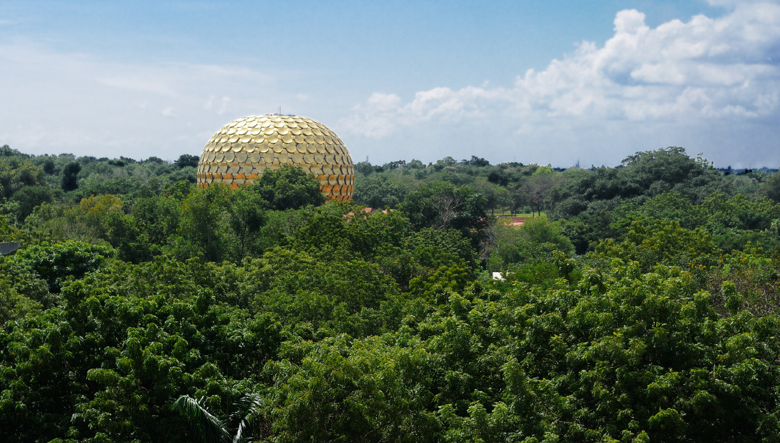
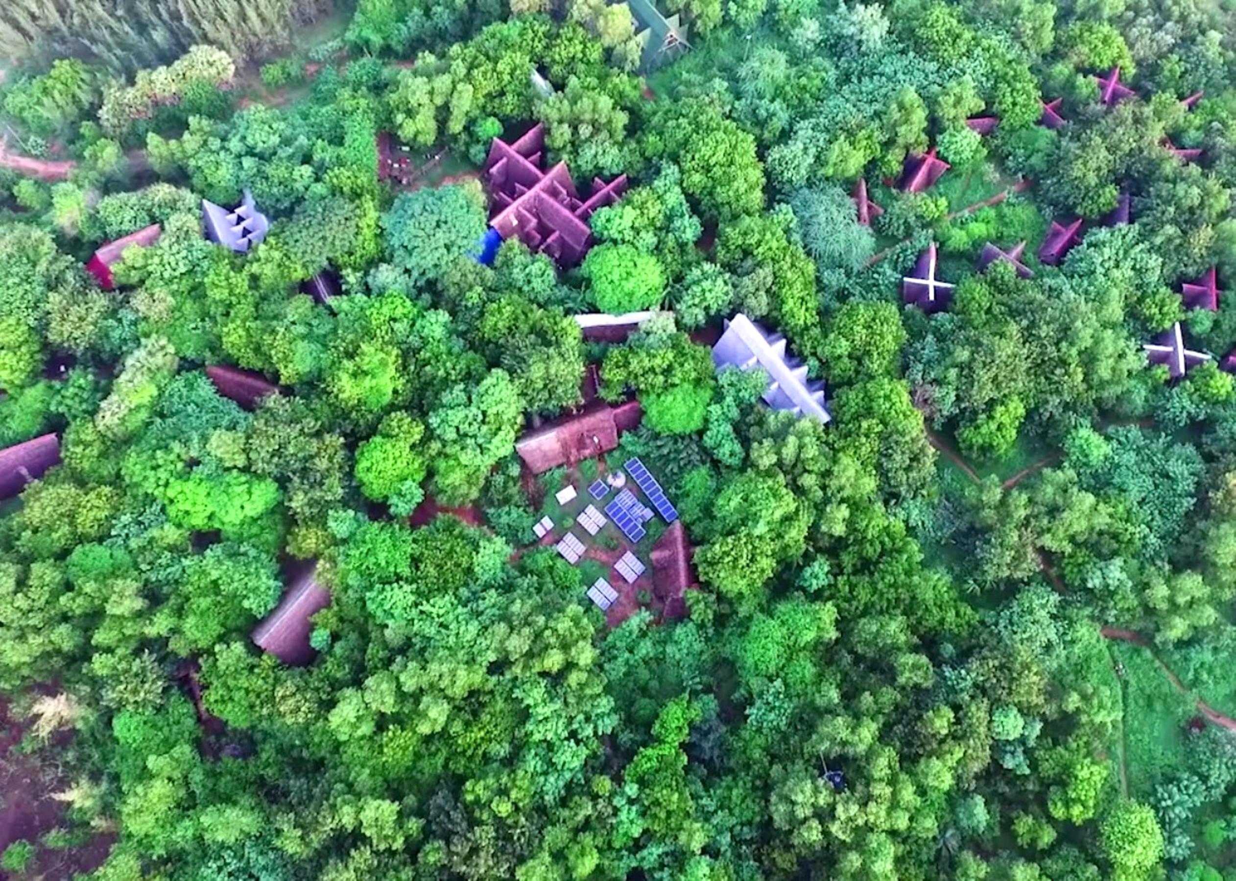
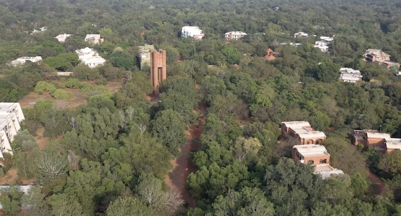
The story of water in Auroville is a complex and multifaceted one, intimately connected to the ocean. Today Auroville has come a long way in terms of water management. Beyond the largely successful reforestation of the area, major work in erosion control has been implemented via check dams, rainwater harvesting via bunds and de-silting of irrigation tanks. Focus on waste water treatment plants within individual communities, using appropriate building technologies, emphasis on renewable energies, raising community awareness, and consistent data gathering have all become areas of strength.
Despite the strides we have taken, there is still a long way to go given the challenges that face us today.
-
Harvest
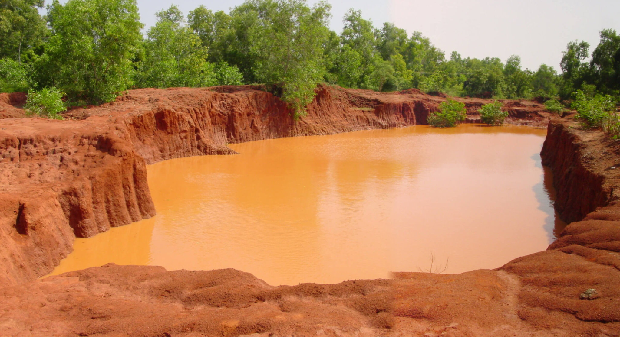
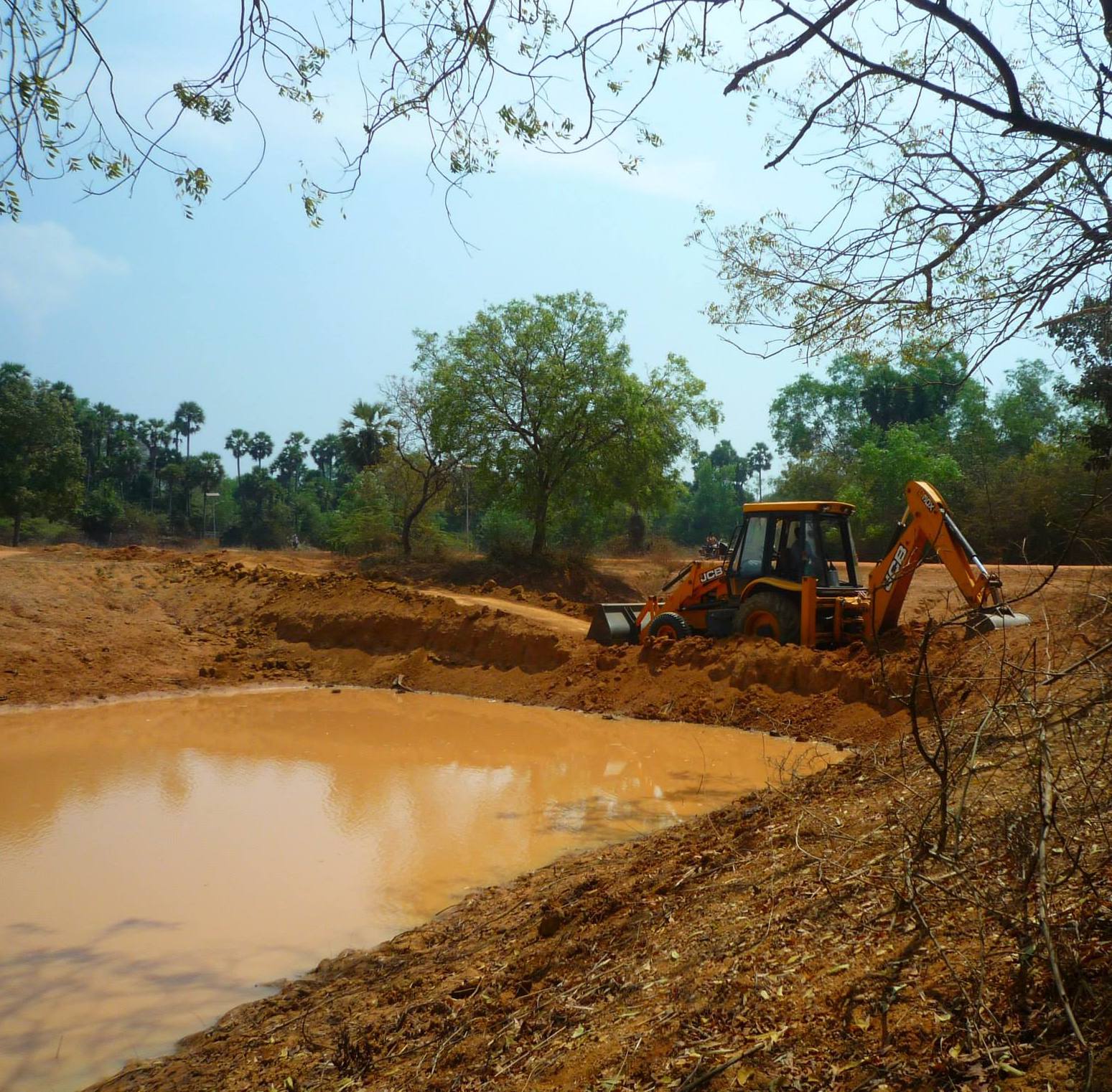
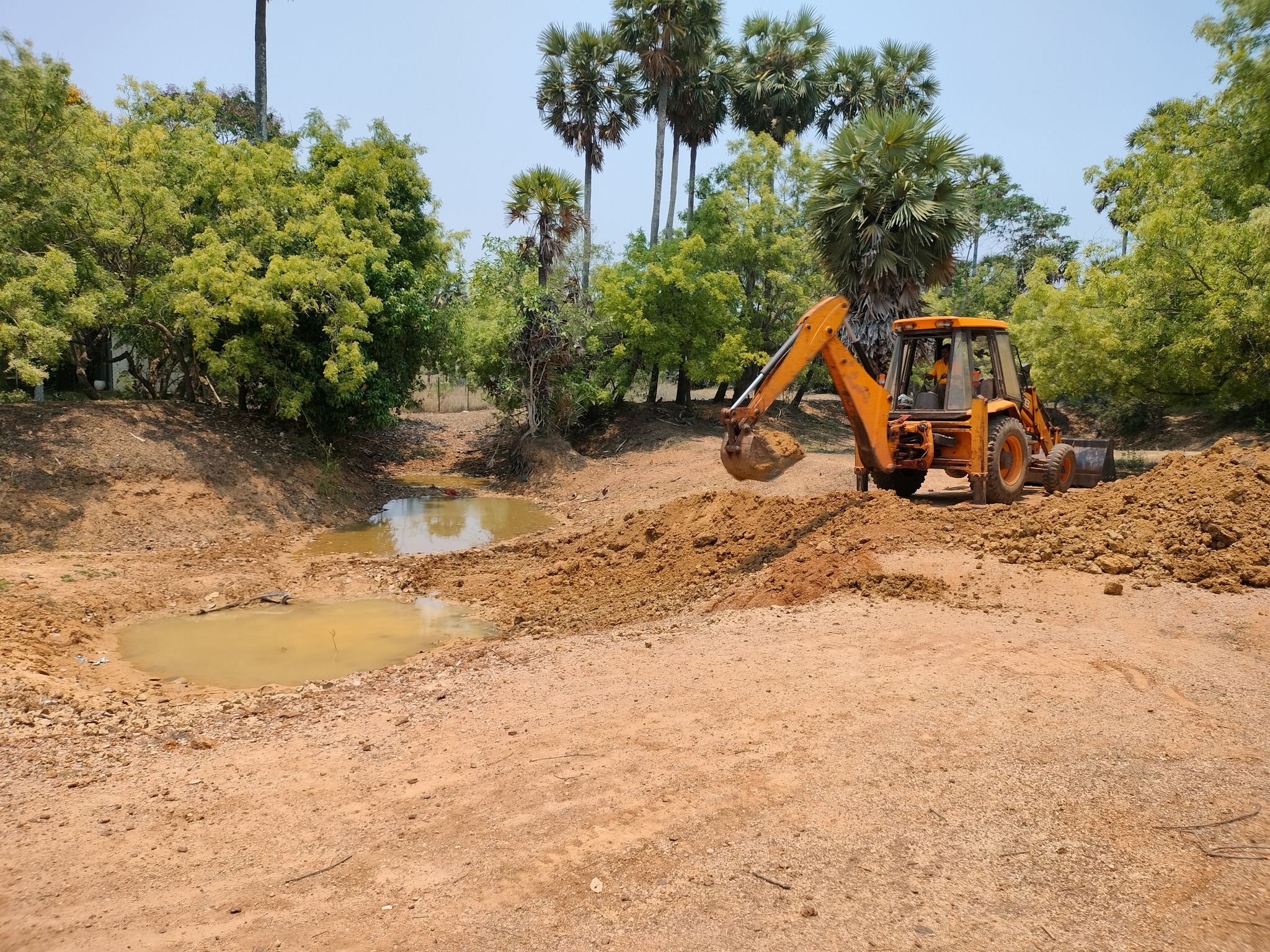
Bunds and check dams for erosion control and ground water recharge -
Manage
Providing safe water efficiently for Auroville -
Recycle
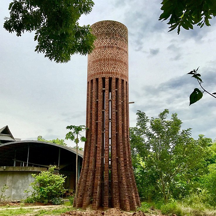
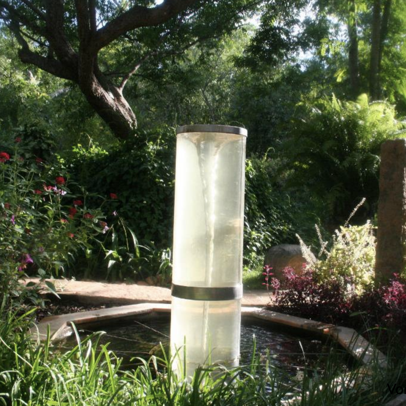
Innovations in waste water treatment systems
Auroville lies in the coastal watershed of Kaliveli, located within the state of Tamil Nadu and the northern part of the Union Territory of Pondicherry. The watershed of 764 square kms flows to Kaliveli swamp and deposits into the sea at Marakanam. It stretches along the coast of the Bay of Bengal for 35 kms.
Starting in ancient times, ingenious water management was undertaken throughout the area through a system of inter-connected “erys”, or tanks. Today there are 196 interconnected irrigation tanks within the watershed, making up a total of 34,500 acres.
Fast forward to 1968, when Auroville was born. After years of deforestation of valuable tropical woods by the British, French, Dutch and local people, the landscape became a barren plateau largely stripped of any vegetation. Monsoon storms eroded its topsoil. When a drop of rain fell from the sky, it slammed onto a clay surface and, without any absorptive top soil, flowed down into the Bay of Bengal, carving canyons and ravines on its way.
In the years that followed, the landscape transformed. Early planting of trees created a fledgling forest, regenerating the topsoil and creating a sponge-like top layer for rain to fall. Bunds were constructed to stop the flow of rainwater to the sea and instead let it percolate to layers below. Check dams were built to halt the torrential flow of storm rains to the sea and allow water to percolate into the aquifers.
Socioeconomic factors in the surrounding areas also played a key role. When the Green Revolution came to India, new crops required more intensive, consistent water usage. This necessitated a shift from shared common water resources to individual borewells, further depleting the aquifers.
Taking Care of Auroville's Water Needs
-
 Auroville Water GroupTowards a Water Sensitive City
 -
 Auroville Water ServiceProviding Safe Water for Auroville
 -
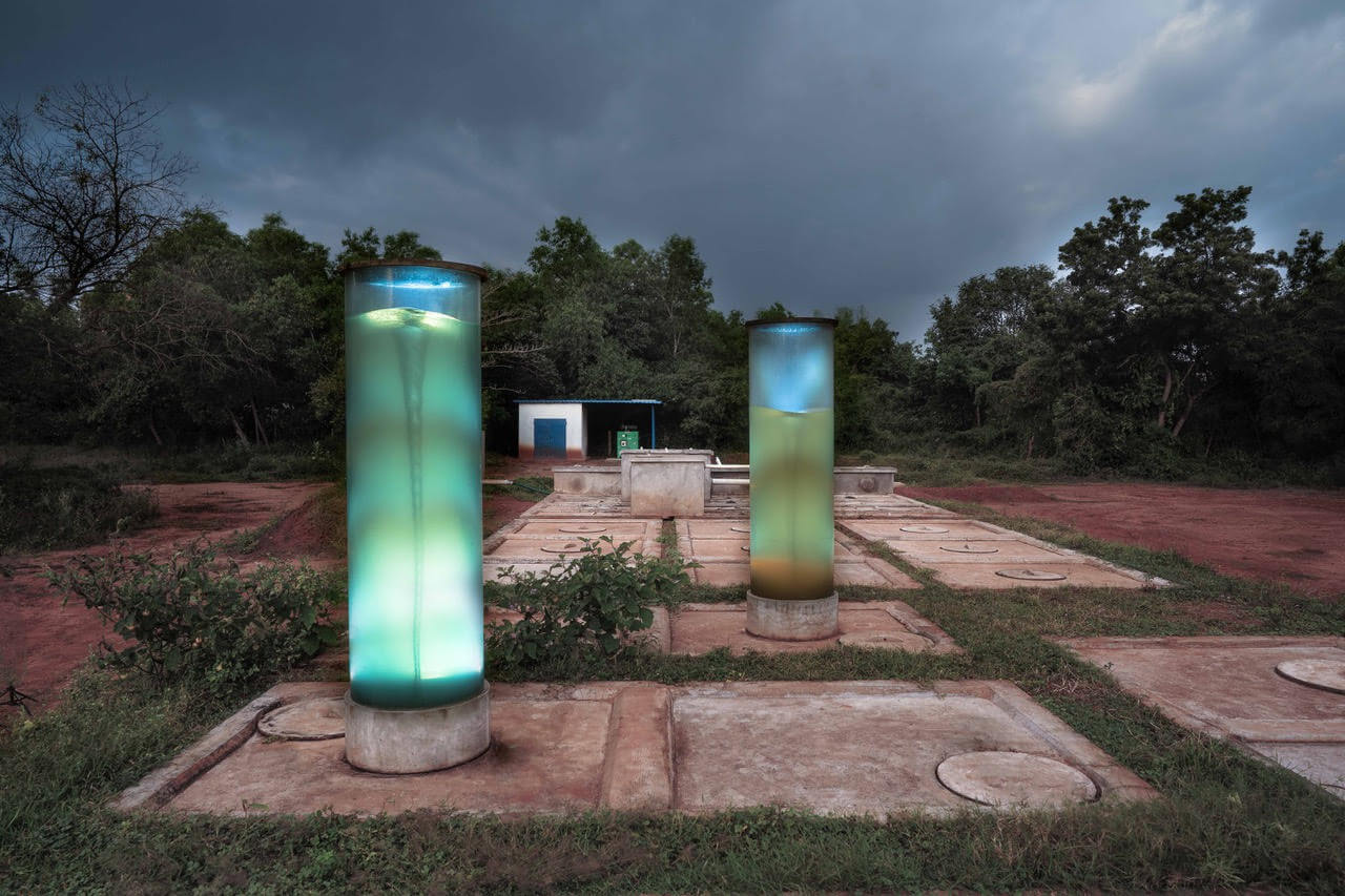 Waste Water RecyclingNatural Decentralised Waste Water Treatment Systems
 -
 Water Users AssociationManaging the Sewage Treatment Plant in the Residential Zone
 -
 CSR GeomaticsMapping Auroville's Geography
 -
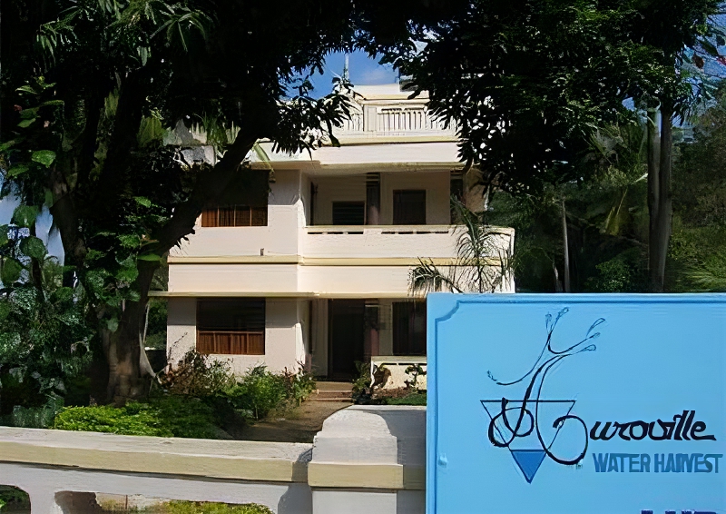 Auroville Water HarvestCentre for Water Resource Management (Inactive)
 -
 Auroville Water StrategyTaking Care of Our Water
See Also