Auroville Water Group

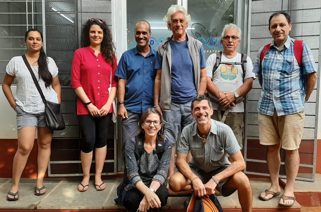
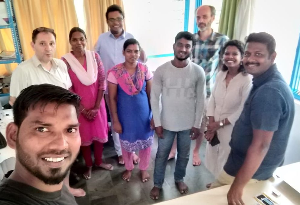
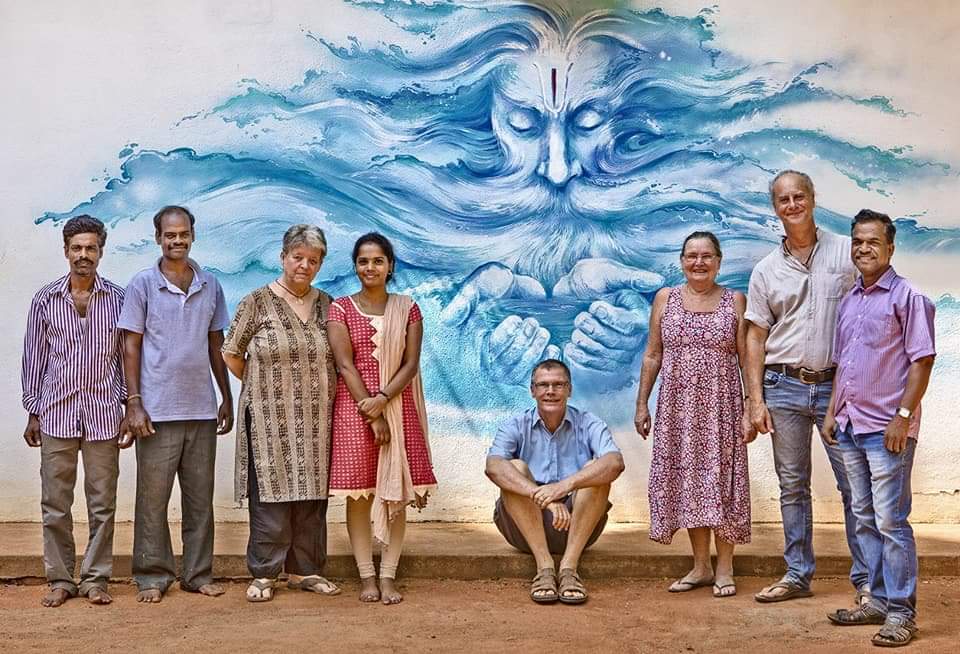
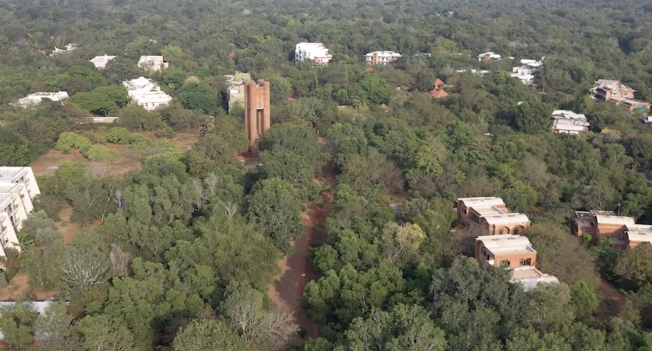
The Auroville Water Group is a group of Aurovilians working to generate awareness toward a water sensitive city through integrative and participatory planning.
Its aim is to initiate and facilitate the development of a sustainable and replicable water policy for Auroville, valid in the context of the bioregion, and attracting support through its example.
The Water Group also strives to increase Auroville's water literacy and sensitivity by sharing information with the wider community on the current water situation.
The Water Group meets twice per month in the Centre for Scientific Research (CSR), Auroshilpam, Auroville and always welcome volunteers, support, feedback or any form of participation in its activities!
- Revisits periodically the document “Auroville Water Management Strategy” elaborated in 2017, to update it and shares the evolution of the document with the community of Auroville
- Identifies gaps and initiates research involving collaborators to develop a sustainable water management strategy
- Recommends that various projects align with the Auroville Water Management Strategy
- Individual Water Group members offer advice on specialized technical topics, with the support of the Water Group
- Communicates with the Auroville community and other interested parties on water issues through a diversity of forums: presentations, radio, email, social media, etc.
- Ensures that all communication is grounded in the values of the Auroville Water Strategy and scientific data
- Encourages feedback and participation from community members on water-related issues
- Supports and hosts Auroville water-related projects through its website (i.e., CSR Geomatics, Water Users Association, etc)
Get in Touch
See Also
-

CSR Geomatics
Mapping Auroville's GeographyIn 2017, CSR – Auroville Centre for Scientific Research – created a CSR Geomatics cell. Geomatics is a discipline dedicated to the “collection, distribution, storage, analysis, processing, and presentation of geographic data or geographic information […] it consists of products, services and tools involved in the collection, integration and management of geographic data. It includes geomatics engineering (and surveying engineering) and is related to geospatial science (also geospatial engineering and geospatial technology).


