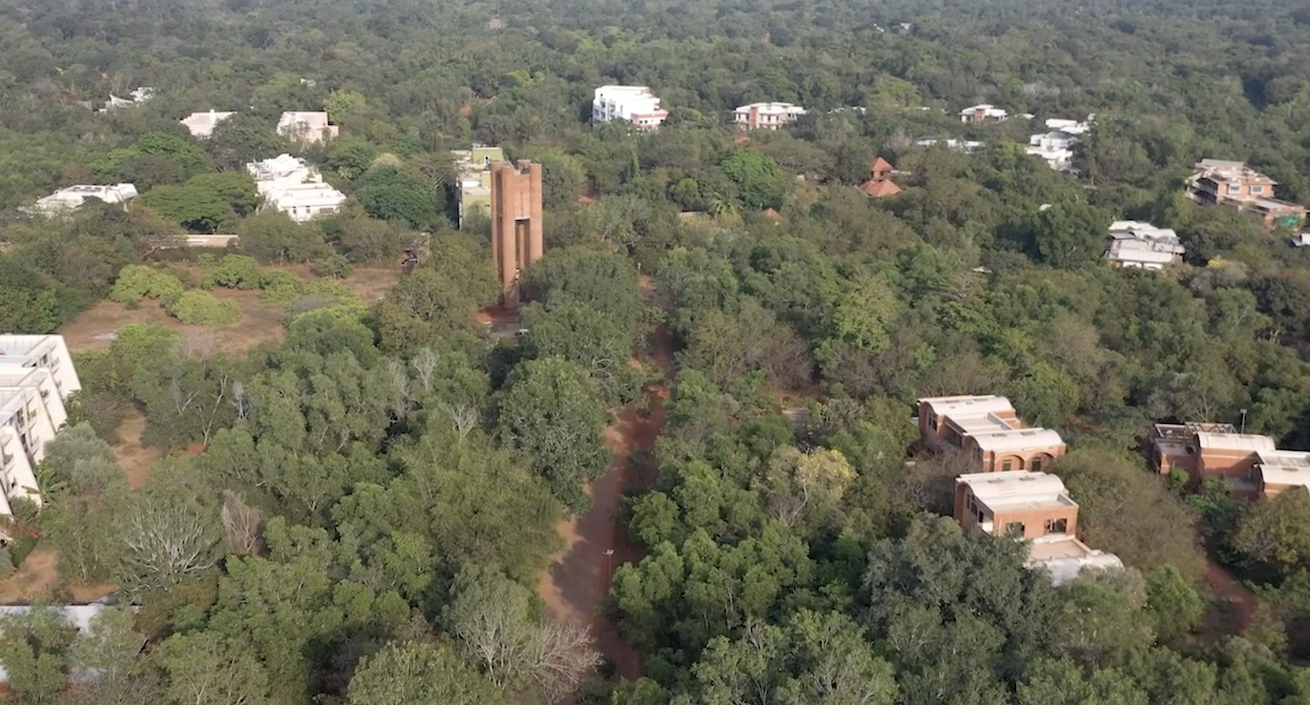
Auroville Water Service
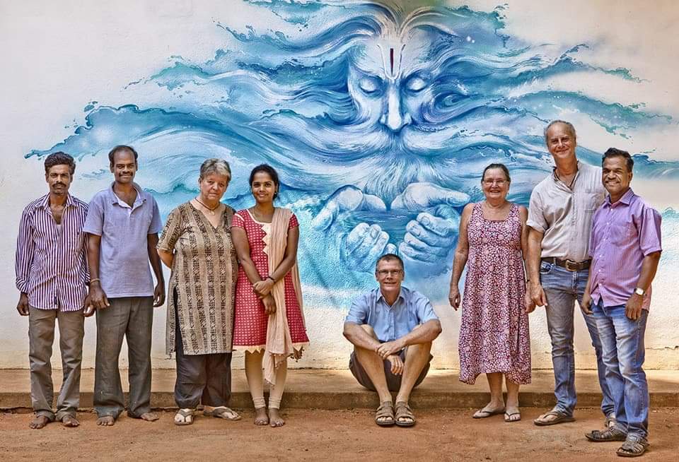
Auroville Water Service (AWS) is creating a core service for Auroville, supplying water 24 hours X 7 days, without any disruption. AWS started to offer this service from the year 2000 with 8 communities and a "Residential Zone Water System".
At present it covers 60% of Auroville water supply, approximately 30 communities and 910 users. The main advantages of this water system are: continuous monitoring of water quality, 24/7 delivery, pressure regulation, minimizing of water loss. In 2018, AWS RZ merged with the Kottakarai water distribution system adding approximately 15 communities and 300 users bringing the total up to approximately 1200 users.
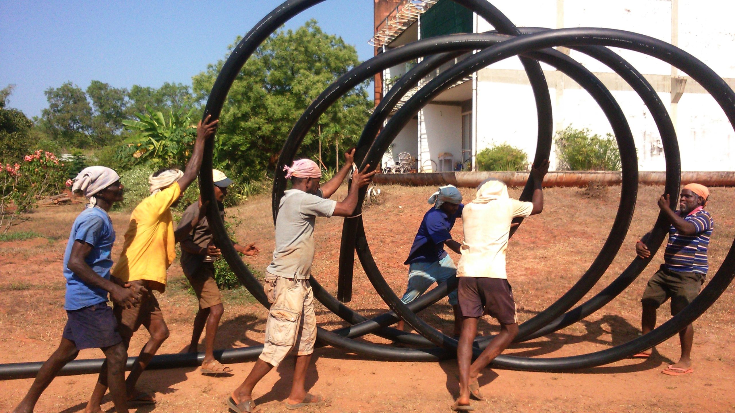
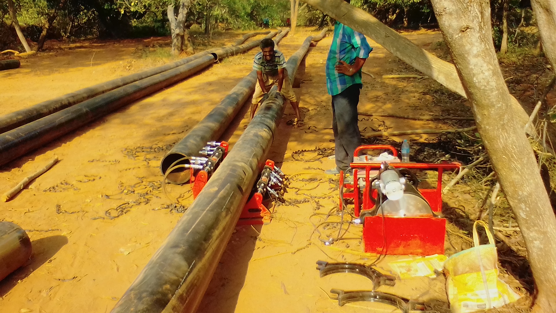
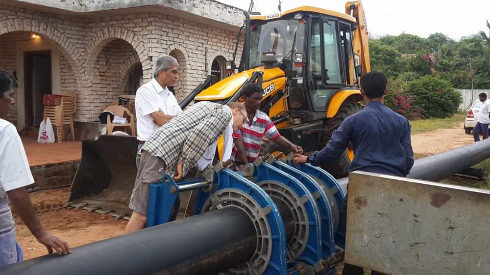
In the past seventeen years from 2000 to 2017, AWS has built a good long-term water infrastructure within the township, marking it as the centralized system dedicated to supplying domestic water. AWS had 30% water loss in 2000, but now it has reduced to almost 0% water loss. AWS team members are reachable 24 hours by phone and these team members can responsibly work with HDPE External Piping with branded EF fittings & water meter that can make long-term sense unlike PVC, according to the prevalent plumbing standards.
Access to safe drinking water should be the same for everyone in Auroville.
AWS’s Objectives and Activities can be formulated in 6 main categories:
1. Water Quality
2. Water Delivery
3. Environmental Concerns
4. Client Information
5. Cost/Tariffs
6. Maintenance and Projects
Visit the Auroville Water Service website for detailed information.
Get in Touch
See Also
-
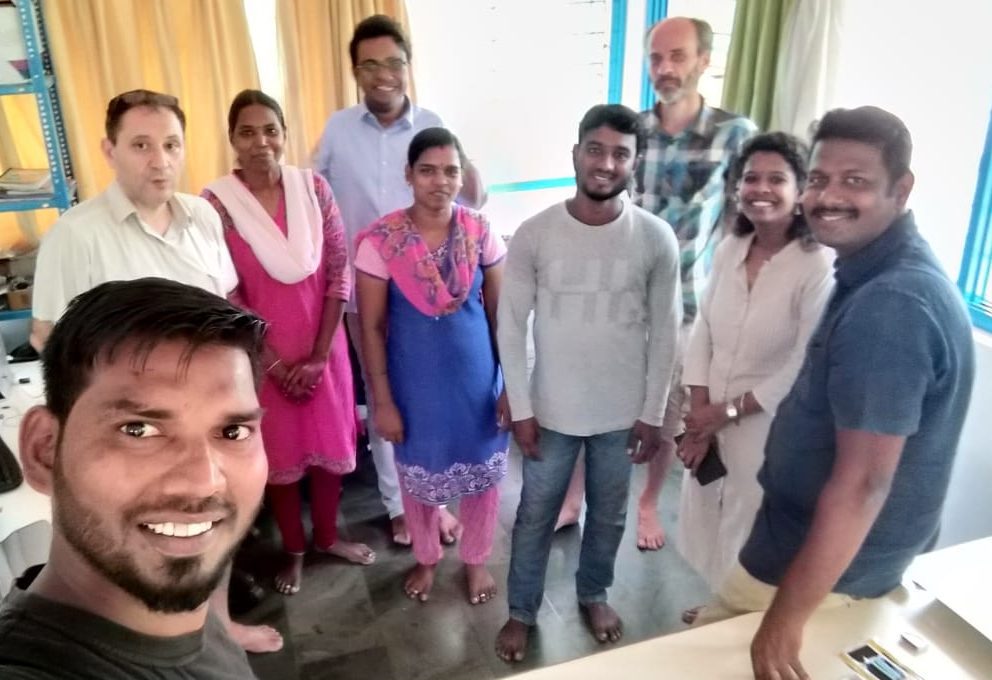
CSR Geomatics
Mapping Auroville's GeographyIn 2017, CSR – Auroville Centre for Scientific Research – created a CSR Geomatics cell. Geomatics is a discipline dedicated to the “collection, distribution, storage, analysis, processing, and presentation of geographic data or geographic information […] it consists of products, services and tools involved in the collection, integration and management of geographic data. It includes geomatics engineering (and surveying engineering) and is related to geospatial science (also geospatial engineering and geospatial technology).
