Water Users Association

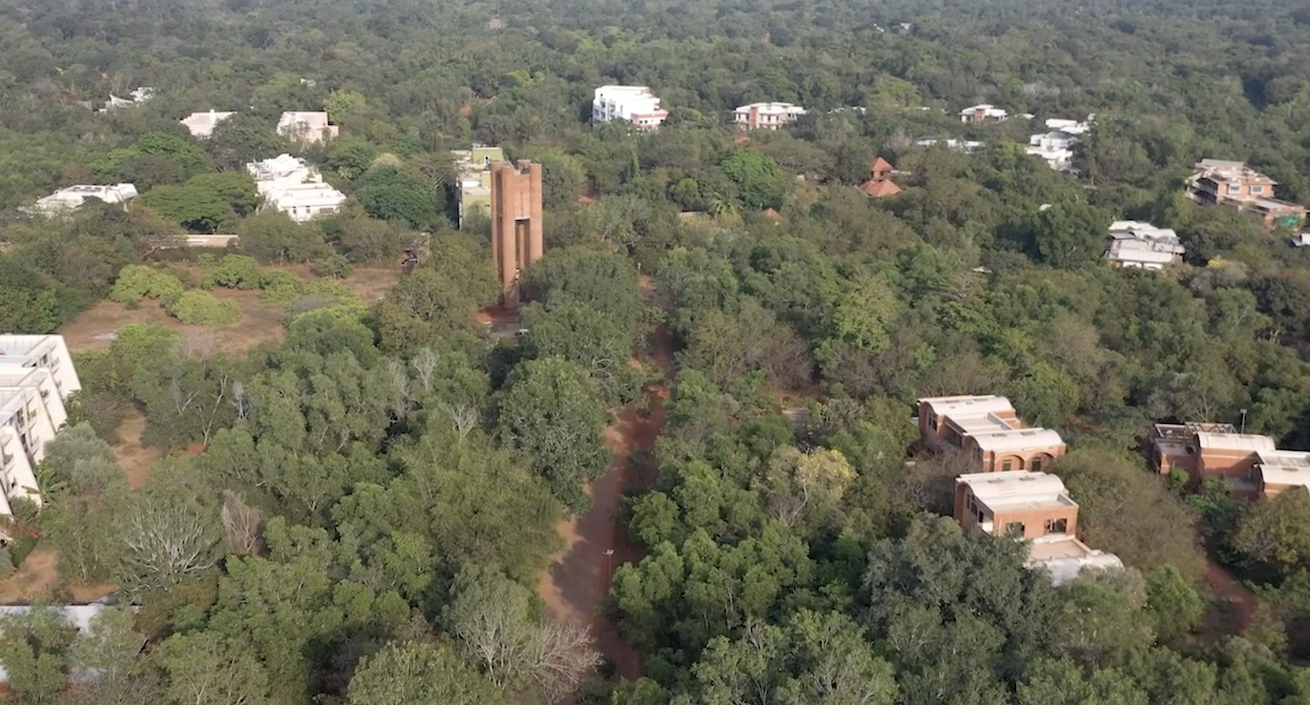
The Water Users Association (WUA) for the sewage treatment plant in the Residential Zone (RZ-STP) came into being in May 2019 and arose from the need to manage the treatment system (see video below). A decentralized and natural wastewater treatment system on this scale is the first of its kind in Auroville, and has the capacity to provide sewage treatment following collection for approximately 450 people.
Nine communities (Humanscapes, Realization, Kalpana, Maitreye 1, Maitreye 2, Serenity, Prayatna 2, Swayam) have been hooked up to the RZ-STP Phase One of the construction. These communities receive treated water from the return line for the purpose of irrigation.
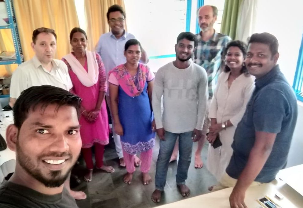
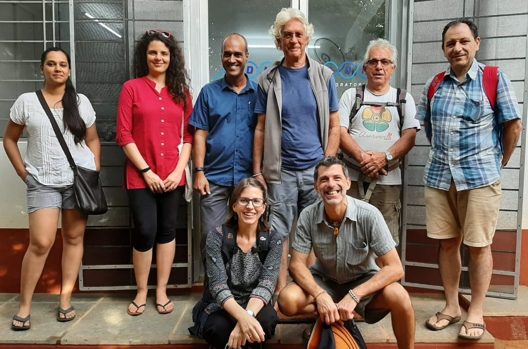
The WUA is comprised of one representative from each of the nine communities currently hooked up to the RZ- STP and will grow as more communities are connected. They meet once per month. Their responsibilities include collecting and managing funds from each of the nine communities to pay for the electricity (AVES) and operations and maintenance of the RZ-STP (Centre for Scientific Research). We also communicate with community members on relevant RZ-STP issues and work together to determine how to share water in the best possible way.
The WUA is a small step toward community-led water governance. It necessitates participation, communication and collaboration over the increasingly scarce and precious resource of water. It is an experiment in sharing and trust with regard to our water resources, and is hopefully the beginning of community-led water management on a wider scale.
WUA can be reached at: wua@auroville.org.in
See Also
-

CSR Geomatics
Mapping Auroville's GeographyIn 2017, CSR – Auroville Centre for Scientific Research – created a CSR Geomatics cell. Geomatics is a discipline dedicated to the “collection, distribution, storage, analysis, processing, and presentation of geographic data or geographic information […] it consists of products, services and tools involved in the collection, integration and management of geographic data. It includes geomatics engineering (and surveying engineering) and is related to geospatial science (also geospatial engineering and geospatial technology).


