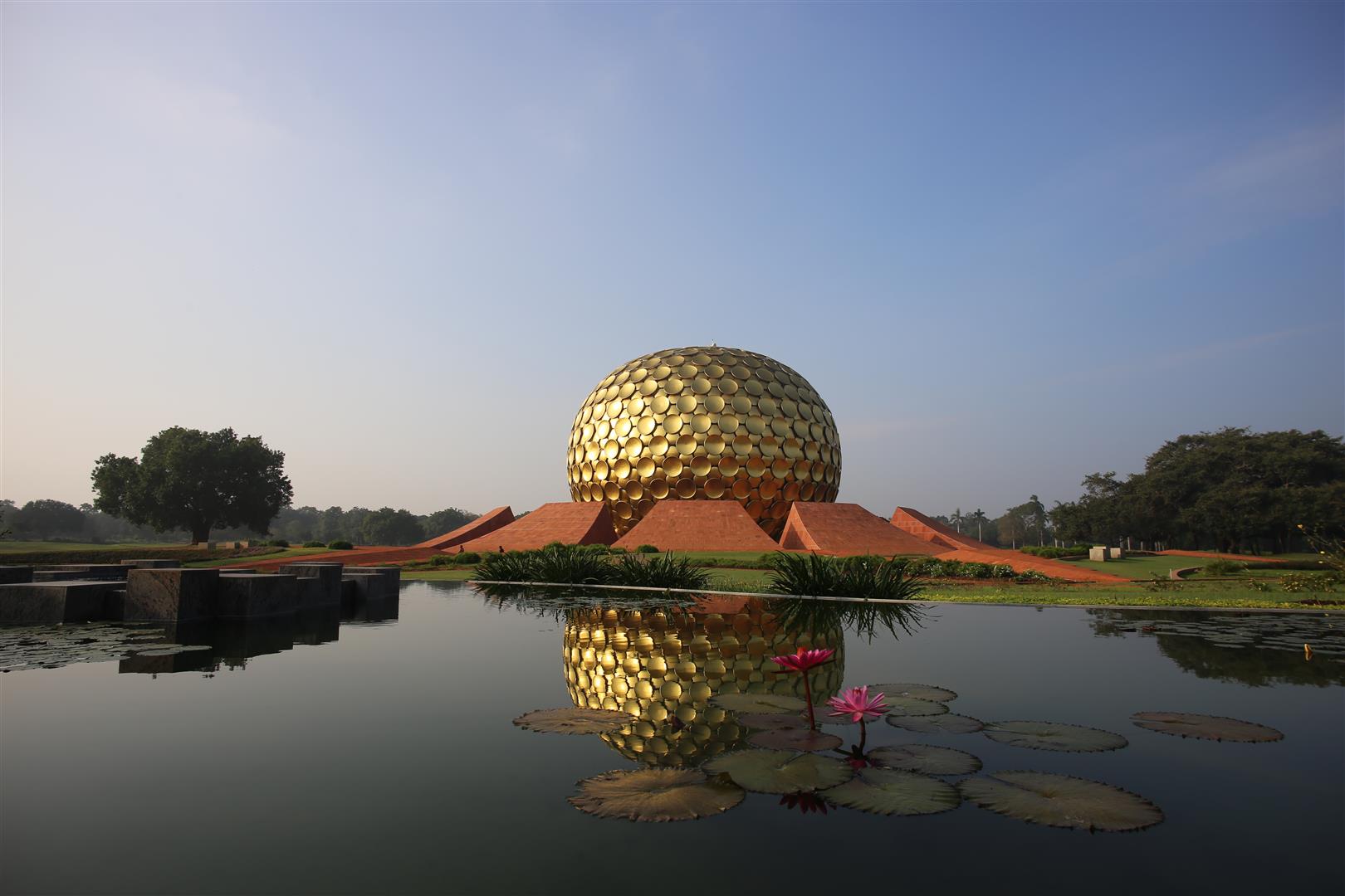
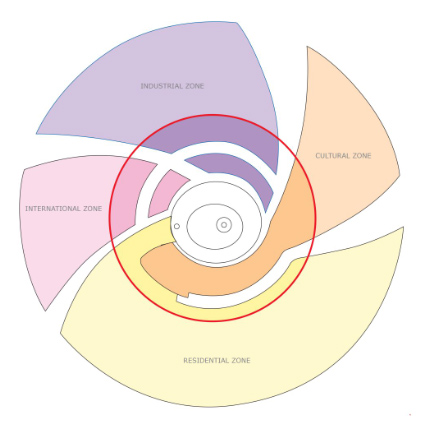
A multi-purpose asset for Auroville and the surrounding villages
The Greenbelt
The Green Belt Zone has broadly three main categories of uses, viz. agriculture and farming; forest and land regeneration; and recreation. Their development is designed to promote biodiversity enhancement, environmental management, land regeneration and water management, with technology transfer of the above activities for wider application. This will make the Green Belt not only an asset for Auroville and the surrounding villages, but also a National Resource Centre (NRC) for sustainable development.
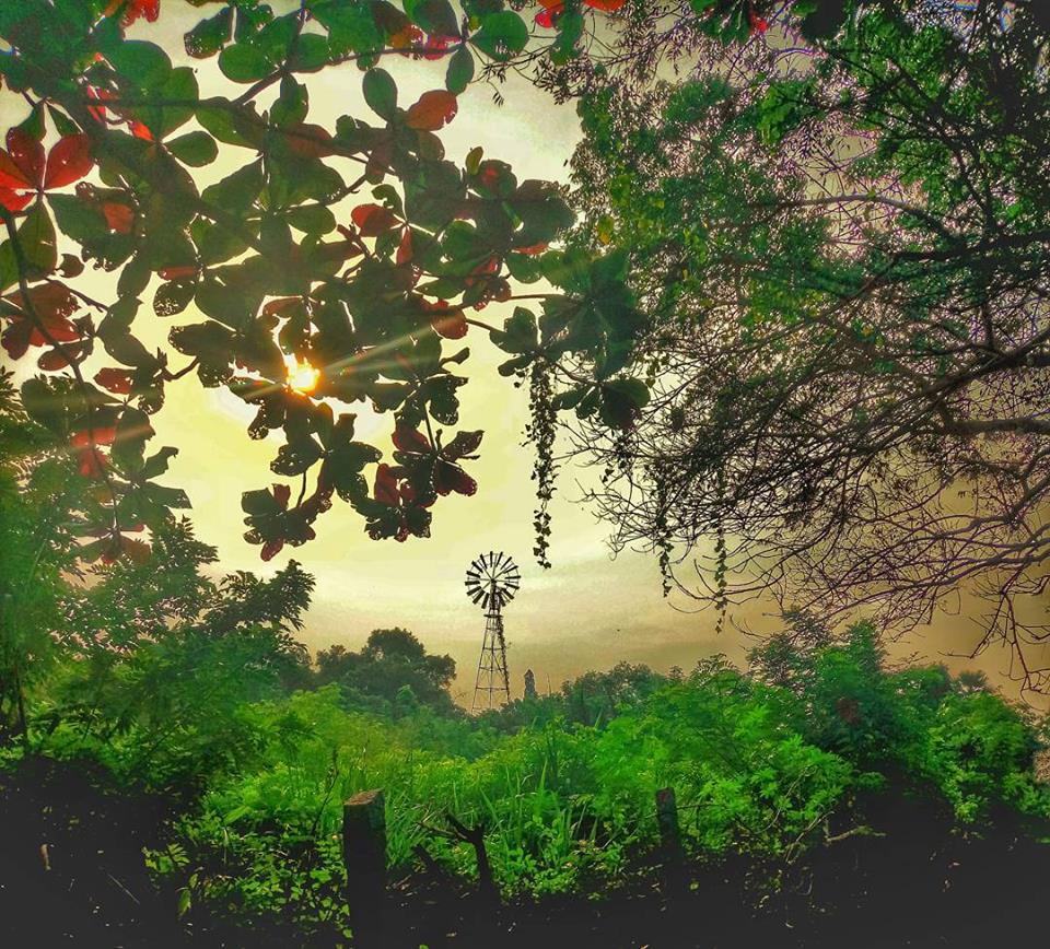
The Greenbelt contains many farms (Siddhartha, Solitude, Annapurna, AuroOrchard, Kalpavruksha, Buddha Garden, Discipline Farm to name a few) and the Botanical Garden. Many Greenbelt communities are dedicated to innovative water resourcing and conservation methods. Reforestation on a large scale, rejuvenation of indigenous plants as well as protection of bio-diversity are intensively undertaken by several communities including the NFA (Northern Forests of Auroville) Sanctuary. The Greenbelt is also the core centre for numerous environmental development and training actions at the bio-regional level, mainly spearheaded by Pitchandikulam with its indigenous and healing plants forest.
There are three villages in the planned township area of Auroville. Auroville’s vision and work is establish happy and healthy rapport with them by means of social and economic uplift, skills training, work opportunities, educational services, cultural interchange and enrichments among other initiatives.
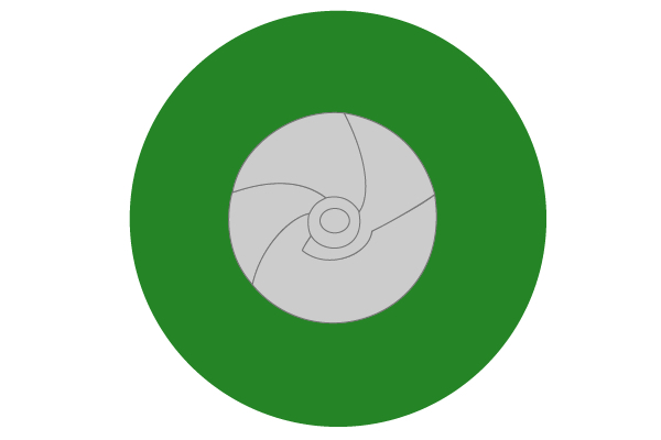
The western part of the Green Belt, consisting of natural drainage channels and village settlements, is reserved for intensive agricultural development. The area involved covers approximately 486 Hectares. At present these lands are vacant or marginally used. They will be utilised to set up prototype farms for raising appropriate crop categories that can be efficiently produced in differing geographic conditions in Tamil Nadu in order to replicate them for the benefit of farmers in those areas.
Auroville's ongoing work in water management, soil conservation, organic farming and seed collection, which is being carried out in collaboration with state-level, national and international research institutions and agencies, will promote the policies of food security and optimisation of agro-economic potential, both locally and nationally.
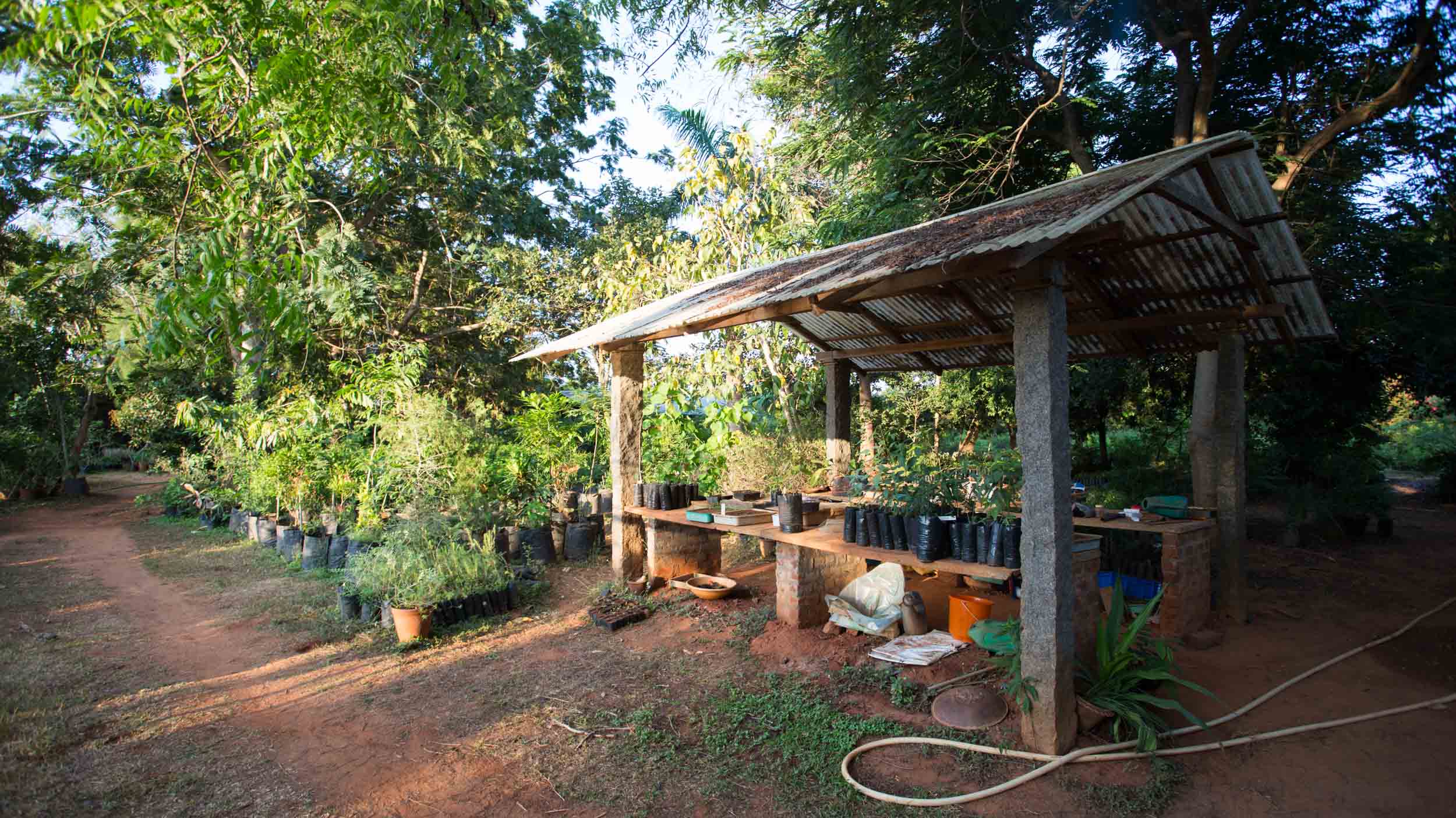
The eastern part of the Green Belt, which has already been developed with dense plantations of trees, acts as a barrier against cyclone-strong winds coming from the coast, which were till recently the main cause of soil erosion, gully formation and degradation of land.
These lands occupy 544 hectares. They will be utilised to strengthen the ongoing work of land regeneration, re-establishing indigenous forest vegetation, propagation of biodiversity through gene pools and seed banks, and instituting zero runoff parameters and practices. This part of the Green Belt will also provide the Auroville township with opportunities to carry out wastewater treatment and recycling, solid waste management and experiments for producing alternative energy through use of biomass and wastes. In this regard, Auroville is collaborating with state and central government agencies.
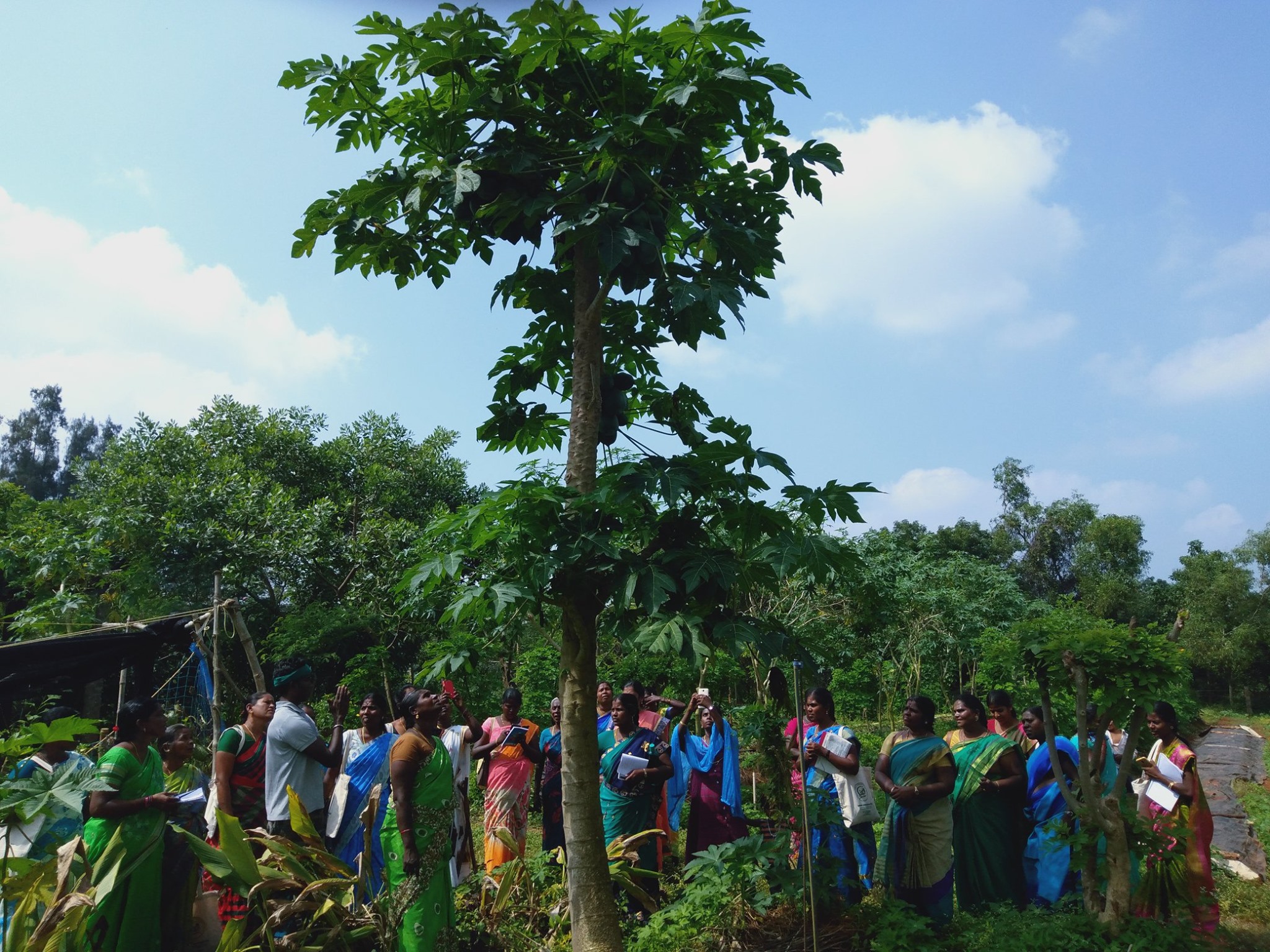
One of the several purposes of a Green Belt is also to provide open-air recreational facilities for the inhabitants of Auroville and its visitors. An area of 260 hectares has been designated for this purpose, which will also include a modern park as well as agro- and social forestry for the benefit of neighbouring villages.
See Also
