Auroville Water Harvest

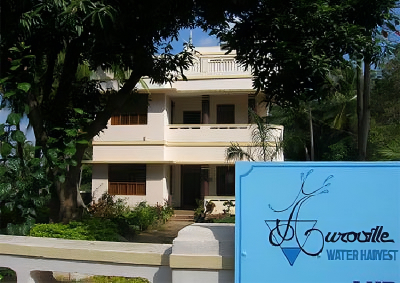
Auroville Water Harvest (AWH) was a Public Service Unit with non-profit status and is Registered under the Auroville Foundation as a division of a Trust for the Centre of Scientific Research (CSR): it is no longer in existence, but, as it was an important and successful step in collaboration in the bio-region between Auroville and the nearby villages, we keep memory of it, as part of an online archive of activities in Auroville.
Fundamentally, AWH is a major water management service operating from its premises near Kottakarai, Tamil Nadu. Our aim is to create a sustainable integrated water management system for Auroville and the bio-region by involvement in social mobilization, surveying, Geographical Information System (GIS), sanitation and wastewater management with special emphasis on providing logistic and engineering support for water reservoirs, the rehabilitation of water distribution and drainage systems.
AWH believes the environmental, social, technical and economic challenges are all interconnected whenever we take on a project. We are also involved in training farmers in water conservation practices and sustainable farming. The core concept is promoting solutions for rural, semi-urban and urban areas while fighting seawater intrusion as a main objective. Harvest also monitors the water quality and levels in Auroville‘s aquifers and wells, keeps statistics and is involved in scientific and engineering investigations working with various partners.
Generally, AWH does not target any particular social groups or communities but implements actions that can benefit everyone. Water resource management concerns all the population and everyone must be involved in saving this precious natural resource. However, particular attention is paid to the farmers as agriculture is the main water consumer.
See Also
-

CSR Geomatics
Mapping Auroville's GeographyIn 2017, CSR – Auroville Centre for Scientific Research – created a CSR Geomatics cell. Geomatics is a discipline dedicated to the “collection, distribution, storage, analysis, processing, and presentation of geographic data or geographic information […] it consists of products, services and tools involved in the collection, integration and management of geographic data. It includes geomatics engineering (and surveying engineering) and is related to geospatial science (also geospatial engineering and geospatial technology).


